
Architect Monte Argentario: this page collects the public data available for owners and foreign buyers considering a villa project in Monte Argentario (GR): OMI villa values, the area, planning rules and landscape constraints, and the checks to make before buying a plot. Every figure is sourced; the studio’s assessments are labelled as such and where a figure is not available we say so. Federico Cappellina Architects is based in Verona.
Studio projects
Some projects by the studio: each card leads to the project page, with photos and description. The full list is on the Projects page.
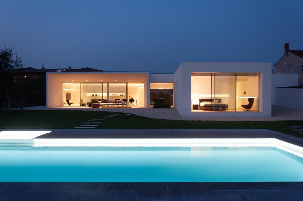
Villa MD Home — Verona
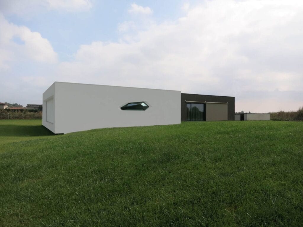
Villa in Verona, 280 m²: white volumes, a black wall, floor-to-ceiling glazing and a pool. See the project →
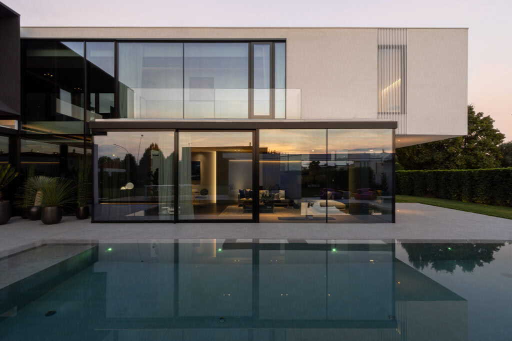
AV Home — Dueville (Vicenza)
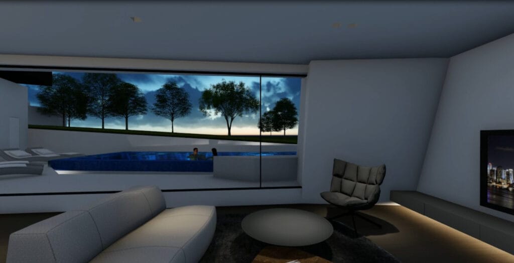
Contemporary villa of about 300 m² in Dueville (Vicenza), with an infinity pool, interiors and a private spa. See the project →
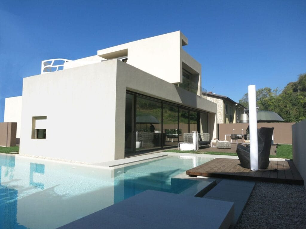
All studio projects
Villas, interiors and multi-residential projects by the studio: the full list is on the Projects page. See all projects →
Talk to the studio: architect Monte Argentario
For information on a plot, a property or a villa project: write to the studio, the answer comes in writing.
or write to info@federicocappellina.com
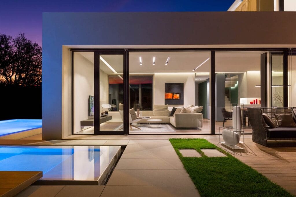
Architect Monte Argentario: villa market in Monte Argentario: OMI data
The reference for property values is the OMI database published by the Agenzia delle Entrate (the Italian revenue agency), which records average asking and transaction values by property type and by micro-zone. For the second semester of 2025, the figures reported for Monte Argentario are as follows (recasa.re, Monte Argentario):
- Ville e villini (detached houses and small villas): average 5,100 €/mq, with a maximum of 6,100 €/mq in the most valued zone.
- All residential property types combined: average 2,950 €/mq.
- Residential sales in 2024: 226.1 NTN (NTN is the number of normalised transactions, the standard unit used by the Agenzia delle Entrate); of these, 25.4 concerned properties above 145 m².
Consequence for a project (studio assessment): the gap between the villa average and the all-types average indicates that value is concentrated in detached houses rather than in apartments. For a renovation or extension, the budget should be tested against the villa band, not the general average, and the micro-zone matters as much as the property type. Check to be made: OMI values are averages and are not a valuation of a specific building; a site-specific appraisal is required before any purchase or investment decision.
Architect Monte Argentario: the area of Monte Argentario
Monte Argentario is a comune in the province of Grosseto, Tuscany, on the Tyrrhenian coast. It occupies the promontory of the same name and is connected to the mainland by the tomboli, the sandbars that enclose the lagoon of Orbetello; it borders the comune of Orbetello (Comune di Monte Argentario – Piani e Progetti).
On population, the available sources do not allow a verified current figure: ISTAT reports 12,556 residents at the 2011 census, and a more recent figure with a verifiable reference year cannot be confirmed from the material available. The altitude of the town centre must also be checked: the sources give differing estimates and do not clearly identify which settlement they refer to.
Road distances to Grosseto and to the airports of Rome Fiumicino and Pisa are likewise not verified: one non-institutional source estimates approximately 35 km to Grosseto, about 1 h 55 min by car from Fiumicino and about 2 h 52 min from Pisa, but these figures must be checked. The seismic zone and the complete climatic data (climate zone and degree days) must be checked with the municipality; one non-institutional source indicates climate zone C but does not give the degree days.
Two environmental designations are relevant. The promontory includes the Natura 2000 Special Area of Conservation (ZSC, Zona Speciale di Conservazione) “Monte Argentario, Isolotto di Porto Ercole e Argentarola” (IT51A0025) (Comune di Monte Argentario – Urbanizzazione). The Riserva naturale Duna della Feniglia is also recorded (Comune di Monte Argentario – Piano Operativo Comunale).
Consequence for a project (studio assessment): a property inside or near a Natura 2000 site or a regional reserve is subject to environmental assessment procedures in addition to planning permission, and these affect timelines. Check to be made: the exact perimeter of the ZSC and of the reserve against the plot, using the official regional cartography.
Architect Monte Argentario: planning and landscape constraints in Monte Argentario
The current planning instruments, as stated by the Comune, are the Piano Strutturale (the structural plan, which sets long-term strategy), approved by council resolution C.C. no. 63 of 25 July 2002, and the Regolamento Urbanistico (the operational regulations), approved by council resolution C.C. no. 12 of 23 March 2012. A new Piano Strutturale and a new Piano Operativo (the operational plan that replaces the Regolamento Urbanistico under current Tuscan law) were adopted in 2024, but the municipal website still describes their approval process as in progress (Piani e Progetti; Urbanizzazione).
On landscape protection, a municipal document relating to the Piano Operativo identifies the entire municipal territory as a protected landscape asset, code 54/1958, under art. 136 of D.Lgs. 42/2004 (the Italian Code of Cultural Heritage and Landscape) (Comune di Monte Argentario – integrazione relazione di avvio del procedimento). The same document lists the constraints under art. 142 of the same code: coastal strips within 300 metres of the shoreline, strips within 300 metres of lakes, strips within 150 metres of watercourses listed in the statutory registers, and land covered by woodland.
Whether and which areas fall under the additional constraint for mountain territories under art. 142 is not clarified by the available municipal source and must be checked. A general municipal rule on new construction cannot be stated without examining the norms and maps in force and identifying the zone concerned: the Comune states that the Regolamento Urbanistico governs the territory together with the Piano Strutturale, while the adopted Piano Operativo specifies where and how interventions are permitted (Piano Operativo Comunale).
Consequence for a project (studio assessment): because the whole territory carries a landscape constraint, most external works — extensions, new openings, terraces, changes of material or colour — require a landscape authorisation (autorizzazione paesaggistica) in addition to the building permit, and the coastal and woodland buffers under art. 142 further restrict what is possible on many plots.
Checks to be made: the zoning and prescriptions of the instrument in force for the specific plot; the status of the new Piano Operativo at the time of application; the presence of the art. 142 buffers; and any mountain-territory constraint, all to be confirmed with the municipality’s urbanistica office.
Architect Monte Argentario: what this means for designing a villa in Monte Argentario
The facts above have direct consequences for design work. The following points are the studio’s assessment, based on the sources cited; they are not a substitute for the checks listed in the next section.
- Landscape constraint across the whole municipality. A municipal document relating to the Piano Operativo identifies the entire territory as a landscape asset subject to constraint, code 54/1958 (Comune di Monte Argentario – integrazione relazione di avvio del procedimento). Consequence for the project (studio assessment): on any plot, the design must be developed together with a landscape assessment from the outset, not added at the end. Volume, height, materials and the visual relationship with the surroundings become part of the planning question, not only an aesthetic choice.
- Overlapping constraints under art. 142 D.Lgs. 42/2004. The same municipal document lists coastal strips of 300 metres from the shoreline, 300-metre strips from lakes, 150-metre strips from watercourses entered in the statutory lists, and land covered by woodland. Consequence for the project (studio assessment): the position of a plot relative to these bands changes the procedure, the documents required and the time needed. A plot that appears simple on a map may fall within one or more of these bands.
- Natura 2000 site. The promontory includes the ZSC “Monte Argentario, Isolotto di Porto Ercole e Argentarola” (IT51A0025) (Comune di Monte Argentario – Piani e Progetti), and the Riserva naturale Duna della Feniglia is also reported (Comune di Monte Argentario – urbanizzazione). Consequence for the project (studio assessment): where a property falls within or near a protected area, an environmental screening may be required in addition to the landscape assessment. This must be established case by case.
- Planning instruments in transition. The Comune indicates as current instruments the Piano Strutturale (C.C. n. 63 of 25 July 2002) and the Regolamento Urbanistico (C.C. n. 12 of 23 March 2012); the new Piano Strutturale and Piano Operativo were adopted in 2024, but the municipal website still describes the approval process as ongoing (Piani e Progetti; Piano Operativo comunale). Consequence for the project (studio assessment): the rules applicable to a plot may change during the life of a project. A design developed only on the 2012 Regolamento Urbanistico may need to be reassessed against the adopted Piano Operativo.
- No general rule can be stated in advance. The Comune itself states that the Regolamento Urbanistico governs the territory together with the Piano Strutturale, and that the Piano Operativo specifies where and how intervention is permitted. Consequence for the project (studio assessment): buildability, permitted uses and extension limits must be read on the specific parcel, with the adopted and approved documents in hand.
Architect Monte Argentario: checks before buying a plot in Monte Argentario
The following checks are specific to this municipality and should be completed before a purchase commitment. Each item corresponds to a fact stated above or to a figure that the available sources do not resolve.
- Planning instrument applicable to the parcel. Obtain from the Comune the current zoning of the plot under the Piano Strutturale and Regolamento Urbanistico, and its classification under the adopted Piano Operativo. Confirm in writing which instrument the office is applying at the date of the query.
- Landscape constraint. Verify the extent of the art. 136 constraint (code 54/1958) on the parcel and the procedure it entails for the intended intervention.
- Art. 142 bands. Measure the distance from the shoreline (300 m), from lakes (300 m), from listed watercourses (150 m), and check whether the parcel is woodland. These distances must be measured on the official cartography, not estimated.
- Natura 2000 and reserves. Check whether the parcel falls within or adjacent to ZSC IT51A0025 or the Riserva naturale Duna della Feniglia, and whether an environmental assessment applies.
- Cadastral and urban conformity of existing buildings. Compare the cadastral plan and the approved building files with the structure as built. Discrepancies affect what can be renovated or extended.
- Seismic zone. The seismic classification of the site must be checked with the municipality; the available sources do not provide it.
- Climate data. A non-institutional source indicates climate zone C but does not give the degree days; the complete figure must be checked with the municipality, as it affects insulation and heating design.
- Access and distances. Road distances to Grosseto and to the airports of Rome Fiumicino and Pisa are reported only by a non-institutional source (approximately 35 km, 1 h 55 min and 2 h 52 min respectively) and must be verified independently.
- Population and altitude. The available sources give 12,556 residents at the 2011 census and do not resolve the altitude of the centre; any figure used in a document must be checked with the municipality.
- Value. OMI figures for ville e villini (average 5,100 €/mq, maximum 6,100 €/mq, second semester 2025) are zone averages; a site-specific appraisal is required.
How the studio works
The studio follows a sequence of stages. The list below describes the method, not specific projects.
- Stage 1 – Document review. Collection of the municipal planning documents, the landscape and environmental constraints, the cadastral records and the existing building files.
- Stage 2 – Feasibility note. A written summary separating verified data, the studio’s assessment and the points still to be checked with the authorities.
- Stage 3 – Concept design. Layout, volume and materials developed against the constraints identified in Stage 1.
- Stage 4 – Planning application. Preparation of the drawings and reports required by the applicable procedure, including the landscape and environmental documentation where relevant.
- Stage 5 – Technical design and construction documents. Details, specifications and coordination with consultants.
- Stage 6 – Construction phase. Site supervision and verification of the work against the approved documents.
Communication with foreign owners is in English, with all formal documents produced in Italian for the authorities.
Do you need an architect Monte Argentario for your plot?
Before buying, the studio reads the planning instrument, constraints and indices of the plot with you. Send the location, cadastral references or the listing.
or write to info@federicocappellina.com

Frequently asked questions
When should you involve an architect Monte Argentario before buying a plot?
Before signing the preliminary contract. An architect Monte Argentario reads the planning instrument, the constraints map and the technical rules that apply to the plot, and lists the checks to request from the municipality and the notary: this is the stage where a mistake costs least.
What does an architect Monte Argentario do besides the design?
An architect Monte Argentario follows the building and landscape permit, coordinates the consultants (structures, services, geologist) and supervises the works. The stages are described in the section «How the studio works».
How to choose an architect Monte Argentario for a villa?
Look at completed projects, knowledge of local planning instruments and the ability to follow the site. The studio’s projects are on the Projects page.
How much does an architect Monte Argentario cost for a villa?
An architect Monte Argentario’s fee depends on the size of the work, the plot’s constraints and the stages requested (design, permit application, construction drawings, site supervision): it is set in a written quotation after the plot has been analysed.
What should you ask an architect Monte Argentario to put in writing before the appointment?
The scope with the stages included, the fee for each, the estimated timing and the list of consultants involved. An architect Monte Argentario should also state which checks remain with the client.
Can an architect Monte Argentario handle the landscape permit too?
Yes: where the area is subject to a landscape constraint the architect prepares the documentation for the landscape authorisation together with the design; timing depends on the authorities concerned.
How long does an architect Monte Argentario need to design a villa?
It depends on complexity and approval times: the design develops in stages and permit timing must be checked with the municipality before a schedule is fixed.
Can you involve an architect Monte Argentario before buying the plot?
It is the prudent choice: the architect checks indices, constraints and access on the plot before the purchase, so conditions can be discussed with the seller while the decision is still open.
Do you need an architect Monte Argentario for a renovation?
If the work needs a building permit or touches a landscape-protected area, an architect Monte Argentario checks which procedure applies with the municipal technical office before any commitment.
What can an architect Monte Argentario tell you before an offer on a plot?
An architect Monte Argentario can read the planning instrument and the constraints map for the plot and list what must still be verified, so that the offer reflects what can actually be built.
Can I extend a villa in Monte Argentario?
The available sources do not allow a general answer. The Regolamento Urbanistico governs the territory together with the Piano Strutturale, and the adopted Piano Operativo specifies where and how intervention is permitted. The permitted extension must be read on the specific parcel and confirmed with the municipality.
Is the whole municipality subject to landscape constraint?
A municipal document relating to the Piano Operativo identifies the entire territory as a landscape asset subject to constraint, code 54/1958. The practical effect on a specific parcel must be verified with the Comune.
How close to the sea can I build?
The municipal document lists a coastal strip of 300 metres from the shoreline under art. 142 D.Lgs. 42/2004. This is a constraint band, not a building permission; what is permitted within it depends on the applicable planning instrument and must be checked.
Does a Natura 2000 site affect my property?
The promontory includes ZSC IT51A0025. Whether a specific property falls within or near it, and whether an environmental assessment applies, must be established case by case.
Which planning instrument is currently in force?
The Comune indicates the Piano Strutturale (2002) and the Regolamento Urbanistico (2012) as current. The new Piano Strutturale and Piano Operativo were adopted in 2024, but the municipal website describes the approval process as ongoing. The status at the date of your query must be confirmed with the municipality.
What is the seismic zone and the climate zone?
Neither figure is resolved by the available sources. The seismic zone is not stated, and climate zone C is reported by a non-institutional source without degree days. Both must be checked with the municipality.
What are villa values in Monte Argentario?
OMI data for the second semester of 2025 give an average of 5,100 €/mq for ville e villini, with a maximum of 6,100 €/mq in the most valued zone, against 2,950 €/mq for all residential types combined. These are averages and not a valuation of a specific property.
If you are considering a property in Monte Argentario, the studio can start with a document review and a feasibility note before any design work. You can contact the studio with the cadastral references of the plot, and see the studio’s work at federicocappellina.com/projects.
Architect Monte Argentario: notes for those weighing an appointment
- An architect Monte Argentario checks the planning designation of the plot before any volume is hypothesised.
- An architect Monte Argentario asks the municipality for the certification of the constraints that affect the area.
- An architect Monte Argentario compares the design with the building indices and the distances from boundaries and roads.
- An architect Monte Argentario coordinates geologist, structural engineer and services engineers from the concept stage.
Architect Monte Argentario: ask the studio for information
For a villa project or a plot consultation: tell us the municipality, the area and your starting ideas. Direct contact with the architect, in writing.
or write to info@federicocappellina.com