
Architect Capri: this page collects the public data available for owners and foreign buyers considering a villa project in Capri (NA): OMI villa values, the area, planning rules and landscape constraints, and the checks to make before buying a plot. Every figure is sourced; the studio’s assessments are labelled as such and where a figure is not available we say so. Federico Cappellina Architects is based in Verona.
Studio projects
Some projects by the studio: each card leads to the project page, with photos and description. The full list is on the Projects page.
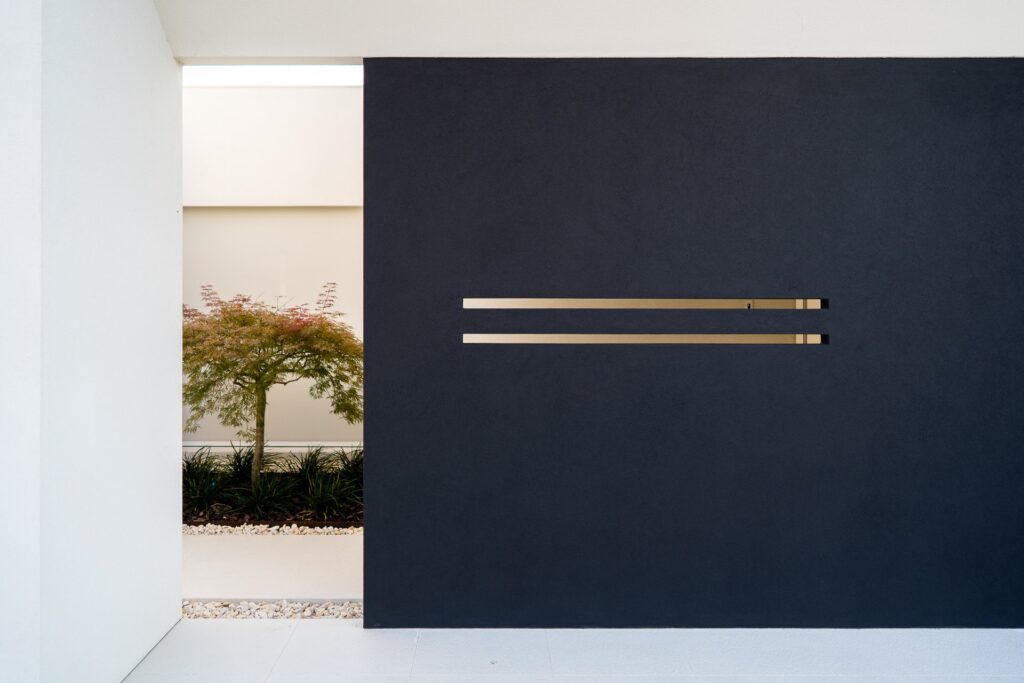
Villa MD Home — Verona
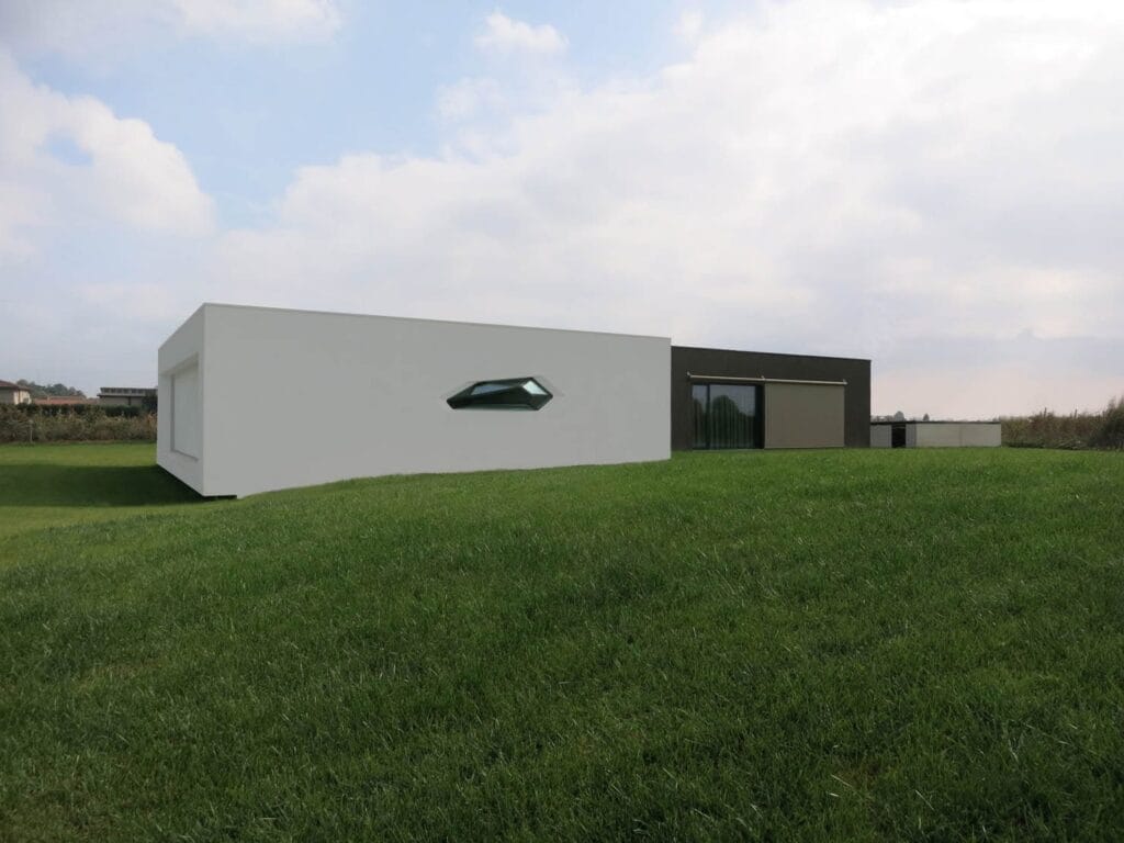
Villa in Verona, 280 m²: white volumes, a black wall, floor-to-ceiling glazing and a pool. See the project →
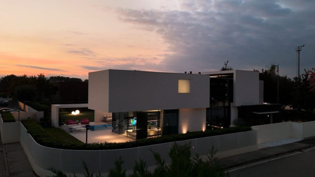
AV Home — Dueville (Vicenza)
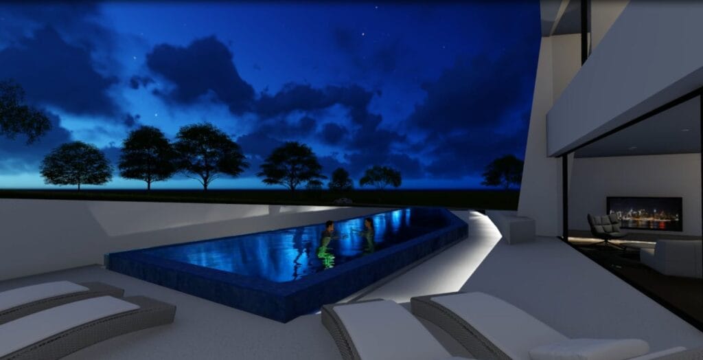
Contemporary villa of about 300 m² in Dueville (Vicenza), with an infinity pool, interiors and a private spa. See the project →
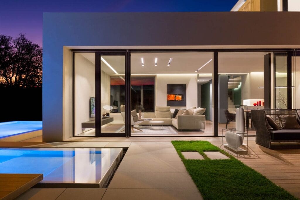
All studio projects
Villas, interiors and multi-residential projects by the studio: the full list is on the Projects page. See all projects →
Talk to the studio: architect Capri
For information on a plot, a property or a villa project: write to the studio, the answer comes in writing.
or write to info@federicocappellina.com
Architect Capri: villa market in Capri: OMI data
The reference for residential values is the OMI database (OMI — Osservatorio del Mercato Immobiliare, the Italian Revenue Agency’s property market observatory), which publishes average values by area and property type. For Capri, the second semester of 2025 figures are as follows, as reported via recasa.re:
- Ville e villini (villas and small villas): average 9,800 €/mq, with a maximum for the area of 11,900 €/mq.
- All residential property types combined: average 6,358 €/mq.
- Number of transactions (NTN) in 2024: 53 residential sales; of these, 13.7 concerned properties over 145 m².
Two points of method matter. First, OMI values are averages by area and type, not valuations of a specific property: they do not reflect position, view, exposure, condition, access or the state of any existing building rights. Second, the transaction figure is a normalised count (NTN — Numero di Transazioni Normalizzate, a weighted transaction count used by OMI), so it measures market activity rather than the number of deeds. A property-level valuation requires a direct inspection and a check of the planning position of the plot or building.
Architect Capri: the area of Capri
Capri is an island municipality (comune) in the metropolitan city of Naples, in the region of Campania. It occupies part of the island of Capri in the Tyrrhenian Sea and borders the municipality of Anacapri; the municipal territory is therefore not the whole island. Sources: Capri (comune) and Capri.
The resident population is reported as 6,722 inhabitants, ISTAT data at 1 January 2025, and the altitude of the town centre as 142 m above sea level. Both figures come from secondary sources — comuniditalia.it for the population and anywhereitaly.com for the altitude — and cannot be confirmed here through a primary ISTAT or municipal source. They should be checked with the municipality if they are material to a decision.
Two further classifications are reported by the same secondary source, comuniditalia.it: seismic zone 3 (zona sismica, the Italian seismic classification scale, in which zone 1 is the most severe) and climate zone C with 1,031 degree-days (gradi-giorno, the heating-demand index used to set winter heating limits). Neither has been confirmed here through a primary institutional source.
On distances, no reliable road distance to mainland capitals or airports can be given: Capri is an island and access is by sea. One source reports 43 km between Naples airport and Capri, but does not describe a continuous road distance: rome2rio. Travel times and logistics should be verified directly with operators.
On protected areas, the Natura 2000 site “Fondali marini di Punta Campanella e Capri” (IT8030011) is a marine site falling under the Habitats and Birds Directives; the site record alone does not establish whether it intersects the municipal boundary: EUNIS. No other terrestrial protected areas of the municipality can be identified from the available sources.
Architect Capri: planning and landscape constraints in Capri
The current municipal planning instrument is the Piano regolatore generale (PRG) — the general master plan — approved by decree of the President of the Campania Regional Executive no. 1681 of 12 March 1984. The PUC (Piano urbanistico comunale, the municipal urban plan that under Campania regional law replaces the PRG) has been adopted in its structural component but is not approved as the plan in force, according to the record consulted.
That record refers to documents published on the municipal website but gives no direct municipal URL here, so the direct municipal link cannot be provided. Source: pucampania.it — PUC Capri; adoption act: delibera di adozione, parte strutturale.
Landscape constraint under art. 136. A secondary source states that the entire island is subject to a landscape constraint by decree under art. 136 of the Code of Cultural Heritage and Landscape (D.Lgs. 42/2004), but it neither identifies the decree nor gives verifiable details. The exact instituting act applicable to the municipal territory therefore cannot be confirmed here. Source: notaiofiorentinomarco.com. This is a verification to be made with the municipality and the competent landscape authority.
Landscape plan. The municipal PUC documents state that the island’s territory is governed by the Piano territoriale paesistico (PTP, the territorial landscape plan) approved by Ministerial Decree of 8 February 1999. Source: delibera di adozione, parte strutturale. For a project, this means the PTP prescriptions must be read together with the PRG zoning of the specific plot; the applicable rules cannot be determined without the location.
Statutory landscape protection under art. 142. The Code also protects certain categories of land by law, irrespective of a specific decree:
- Coastal belt: a secondary source lists the 300-metre belt from the coastline among the constraints applied at Capri; no official act or mapping identifying the precise areas concerned was found. Source: notaiofiorentinomarco.com.
- Woods and mountain territories: the regional geoportal publishes mapping on areas protected under art. 142 and an atlas of wooded territories, but the available results do not confirm which areas fall within the municipality of Capri; the local extent cannot be stated. Source: Regione Campania — PPR documents.
- Lake belts: no source was found documenting lakes within the municipal territory or the applicability of the related belt. Source: Regione Campania — PPR documents.
Limits on new construction. The PUC report states that the PRG would have exhausted the volumetric capacity available for new building, apart from a modest quota of social housing indicated as 250 vani (vani, the standard room-equivalent unit used in Italian planning). This is a statement contained in a plan document, not an updated verification of what can be built on a specific plot. Source: relazione del PUC.
Special rules. The adopted structural component of the PUC describes, among other things, permitted uses in areas of naturalistic fragility and value and measures for coastal conservation. Because it concerns an adopted component and not the approved general plan, it is not presented here as the discipline in force in every case. Source: NTA — parte strutturale. The precise rule for a lot requires its PRG zoning and the relevant landscape prescriptions, which cannot be determined without the location.
As a matter of practice, the studio’s assessment is that any acquisition or works programme on Capri should begin with the PRG zoning and the PTP and landscape position of the specific property, established before design work starts, because the constraints above operate cumulatively and the applicable acts must be confirmed case by case.
Architect Capri: what this means for designing a villa in Capri
The facts above have direct consequences for a project on the island. The points below are the studio’s assessments, drawn from those facts; they are not statements of law and do not replace a check on the specific plot.
- The planning framework is old and layered. The operative plan is the PRG approved in 1984, while the PUC exists only in its adopted structural component (pucampania.it). Assessment: a project must be read against the 1984 PRG and its implementing rules, and separately against the adopted PUC to understand the direction of future regulation. A design that assumes the PUC is already binding would rest on the wrong premise.
- Landscape constraints come before architectural ambition. The island territory is subject to the Piano territoriale paesistico approved by D.M. of 8 February 1999 (PUC adoption acts), and a secondary source refers to a landscape constraint under art. 136 D.Lgs. 42/2004 over the whole island, without identifying the founding decree. Assessment: the design sequence should start from what the landscape authority will permit in that location, not from a preferred layout. The exact art. 136 act must be checked with the municipality.
- New construction is likely to be the exception. The PUC report states that the PRG has exhausted volumetric capacity for new building, apart from a modest social-housing quota of 250 rooms (PUC report). Assessment: most briefs will realistically be about renovation, restoration, internal redistribution or limited extension of existing buildings rather than new volumes. This changes the design method: survey and reading of the existing fabric become the core of the work.
- Coastal and natural constraints narrow the envelope further. A secondary source cites the 300 m coastal belt among the constraints applied at Capri (notaiofiorentinomarco.com), and the marine Natura 2000 site IT8030011 covers the seabed off Capri and Punta Campanella (EUNIS). Assessment: proximity to the coast and to protected marine areas should be mapped at the outset, because they affect what can be built, how works are carried out and what environmental screening may be required. The precise areas affected within the municipality must be verified.
- Seismic classification affects structural design. Capri is reported as seismic zone 3 with climate zone C, 1,031 degree-days (comuniditalia.it). Assessment: any structural intervention will require the corresponding seismic checks and documentation; this is a cost and programme item to plan from the start, not a detail to resolve later.
- Market values set the frame for cost decisions. With villas averaging 9,800 €/mq and a zone maximum of 11,900 €/mq (recasa.re), and only 13.7 normalised transactions in 2024 for properties over 145 m², assessment: the studio treats build cost, constraint-driven design limits and resale assumptions as one feasibility question, because a constrained plot can absorb significant expenditure before any value is added.

Architect Capri: checks before buying a plot in Capri
The following checks are specific to this municipality. They are listed in the order in which the studio would normally see them resolved.
- PRG zoning of the plot. Obtain the PRG (1984) zoning and implementing rules for the exact parcel from the municipality. The PUC page does not provide a direct municipal link, so the request must be made to the Comune di Capri.
- Status of the PUC. Confirm with the municipality which PUC components are adopted and which, if any, are approved, and whether any measures apply to the plot.
- Landscape constraint act. Identify the exact art. 136 D.Lgs. 42/2004 decree covering the area, and obtain the landscape authority’s position on the intended use. The founding act is not identified in the available sources.
- Piano territoriale paesistico prescriptions. Check the PTP of 8 February 1999 for the specific parcel, including any building typology, material or volume rules.
- Coastal belt and protected areas. Verify whether the plot falls within the 300 m coastal belt and whether any Natura 2000 or other protected area intersects it; the sources available do not map this at parcel level.
- Woodland and mountain areas under art. 142. Check the regional cartography for any art. 142 woodland or mountain designation on the plot; the available regional documents do not confirm the local extent.
- Residual building capacity. Ask the municipality to confirm whether any volumetric capacity remains for the plot, given the PUC report’s statement that capacity is exhausted apart from the 250-room social-housing quota.
- Existing building status. For built property, check planning and building permits, any amnesty or sanction files, and conformity of the built state with the approved drawings.
- Seismic and structural position. Confirm the seismic classification with the competent offices and commission a structural survey before committing.
- Access and services. Verify legal and physical access, water supply, drainage and utilities, which on an island municipality are not automatic.
How the studio works
The studio follows a staged process, adapted to the constraints and authority procedures that apply to each site.
- Brief and feasibility. Establishing the client’s programme, the budget frame and the planning position of the property, and identifying the constraints that will govern the design.
- Survey and analysis. Measured survey of the existing building or site, documentary research on permits and plans, and mapping of the applicable landscape and planning prescriptions.
- Concept design. Developing the layout and architectural approach within the verified envelope, with the constraint analysis visible in the drawings.
- Authority strategy. Identifying which approvals are needed, in what sequence, and preparing the documentation for landscape, planning and structural submissions.
- Technical design. Developing construction details, specifications and cost information to a level suitable for tender.
- Construction phase. Site supervision, coordination with consultants and contractors, and management of variations and authority checks during the works.
Each stage closes with a defined deliverable and a decision point, so that the client can stop, adjust or proceed with a clear view of cost and risk.
Do you need an architect Capri for your plot?
Before buying, the studio reads the planning instrument, constraints and indices of the plot with you. Send the location, cadastral references or the listing.
or write to info@federicocappellina.com
Frequently asked questions
When should you involve an architect Capri before buying a plot?
Before signing the preliminary contract. An architect Capri reads the planning instrument, the constraints map and the technical rules that apply to the plot, and lists the checks to request from the municipality and the notary: this is the stage where a mistake costs least.
What does an architect Capri do besides the design?
An architect Capri follows the building and landscape permit, coordinates the consultants (structures, services, geologist) and supervises the works. The stages are described in the section «How the studio works».
How to choose an architect Capri for a villa?
Look at completed projects, knowledge of local planning instruments and the ability to follow the site. The studio’s projects are on the Projects page.
How much does an architect Capri cost for a villa?
An architect Capri’s fee depends on the size of the work, the plot’s constraints and the stages requested (design, permit application, construction drawings, site supervision): it is set in a written quotation after the plot has been analysed.
What should you ask an architect Capri to put in writing before the appointment?
The scope with the stages included, the fee for each, the estimated timing and the list of consultants involved. An architect Capri should also state which checks remain with the client.
Can an architect Capri handle the landscape permit too?
Yes: where the area is subject to a landscape constraint the architect prepares the documentation for the landscape authorisation together with the design; timing depends on the authorities concerned.
How long does an architect Capri need to design a villa?
It depends on complexity and approval times: the design develops in stages and permit timing must be checked with the municipality before a schedule is fixed.
Can you involve an architect Capri before buying the plot?
It is the prudent choice: the architect checks indices, constraints and access on the plot before the purchase, so conditions can be discussed with the seller while the decision is still open.
Do you need an architect Capri for a renovation?
If the work needs a building permit or touches a landscape-protected area, an architect Capri checks which procedure applies with the municipal technical office before any commitment.
What can an architect Capri tell you before an offer on a plot?
An architect Capri can read the planning instrument and the constraints map for the plot and list what must still be verified, so that the offer reflects what can actually be built.
Can I build a new villa on Capri?
The PUC report states that the PRG has exhausted volumetric capacity for new building, apart from a 250-room social-housing quota. This is a statement in a plan document, not a verification for a specific plot. Whether any capacity remains on a given site must be checked with the municipality.
Which plan governs my plot?
The operative instrument is the PRG approved in 1984. The PUC is adopted in its structural component but not approved as the operative plan according to the source consulted. The zoning of the specific parcel must be obtained from the Comune di Capri.
Is the whole island under landscape constraint?
A secondary source states that the whole island is subject to a landscape constraint by decree under art. 136 D.Lgs. 42/2004, but does not identify the decree. The exact founding act for the municipal territory must be checked with the municipality.
What does the Piano territoriale paesistico require?
The PTP was approved by D.M. of 8 February 1999 and governs the island territory. Its prescriptions for a specific parcel — including typology, materials and volumes — must be read against that parcel before design begins.
Does the 300 m coastal belt apply to my land?
A secondary source lists the 300 m coastal belt among the constraints applied at Capri. No official act or cartography in the available sources identifies precisely which areas of the municipality are affected, so this must be verified for the plot.
What do the OMI values tell me about a purchase?
They are average values by area and property type: 9,800 €/mq for villas and small villas, with a zone maximum of 11,900 €/mq. They do not value a specific property and do not reflect position, condition or building rights. A property-level valuation requires inspection and a planning check.
How active is the market?
In 2024 there were 53 normalised residential transactions, of which 13.7 concerned properties over 145 m². These are weighted counts, not deed numbers, and should be read as an indicator of activity rather than of liquidity for a particular property.
If you are considering a property or a plot on Capri, the studio can review the planning and landscape position before you commit. To discuss a specific case, contact the studio. Selected work is published at federicocappellina.com/projects.
Architect Capri: notes for those weighing an appointment
- An architect Capri checks the planning designation of the plot before any volume is hypothesised.
- An architect Capri asks the municipality for the certification of the constraints that affect the area.
- An architect Capri compares the design with the building indices and the distances from boundaries and roads.
- An architect Capri coordinates geologist, structural engineer and services engineers from the concept stage.
- An architect Capri prepares the documents for the building permit and, where needed, for the landscape authorisation.
- An architect Capri sets out timing and stages with the client, without promising dates that depend on the offices.
Architect Capri: ask the studio for information
For a villa project or a plot consultation: tell us the municipality, the area and your starting ideas. Direct contact with the architect, in writing.
or write to info@federicocappellina.com